Showing posts with label hiking. Show all posts

Saturday, July 27, 2013

mt. olympus

 ya know, just cruising down the highway on the back of a truck bed.
it's legal here, believe it or not.
starting out- rebekah and i. :)
 after a bit of hiking we came to this. while the sign says:
"CAUTION: end of maintained trail!"
"notice. end of trail."
"do not go beyond this sign- please turn back."
all we read was:
JUST keep climbing and
mt. olympus. 
always read between the lines, or in our case, the graffiti. 
because from what i could tell, the trail was very well maintained with fresh shoe prints and passing people.
we parked behind that ridge in the left-ish/middle of the pic. i think. 
 diamond head from a different angle. 
 the point of diamond head on the left and downtown honolulu in the middle. 
 random peacock x-ing. hello, peacock.
 there's a trail, i promise!
stephan's a little dot. i think this was the second to the last summit.
zoom in.
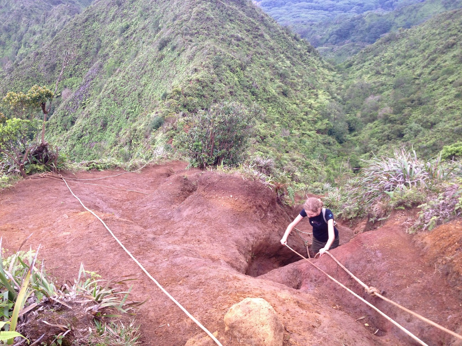
 these ropes were a lifesaver. literally. 
clouds traveling over the ko'olau mountains. such a cool thing to experience!
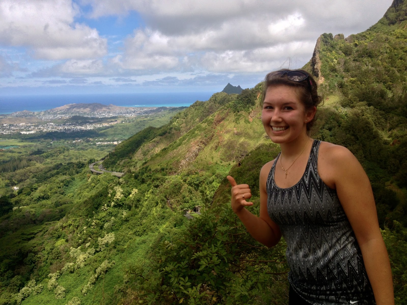
the other side of the island: kaneohe (ah!)
we were quickly engulf in the clouds. kaneohe is behind us, can't you tell? 
 and back down again. the weather was wonderful: overcast but not rainy.
(it did sprinkle a tiny bit, but it was over shortly.)
 a bad picture of koko head. i still need to do that hike. :)
delicious strawberry guava
 i had more than my fill of these little guys. 
 it's safe to say that this hike was successful. 


to start off, i have no idea why the name mt. olympus. it's not hawaiian, and we didn't spot any olympians like michael phelps or gabby douglas; it's not the olympic mountains in washington (although, that would've been cool) or mt. olympus in greece. 

*sigh* i will always be in bewilderment. 


this hike had a lot of similarities to the royal summit we did last month. both were along a mountain ridge, up and down summits and all, but this one was A LOT more steep than the royal summit. 

the internet said it would take 4- 4.5 hours roundtrip (from the parking lot to mt. olympus), so we gauged our whereabouts on the time. accurate, right? haha no. we came to a pretty good looking summit overlooking honolulu on one side and kaneohe on the other. amazingly beautiful sights up there! no signs, but we're guessing it was mt. olympus because we made it there in exactly 2.25 hours. yes... the trail keeps going, but we turned around.

getting back down seemed to take forever, but we were able to make it back 10 minutes shy of four hours- jell-o legs and all! woohoo. 


hike stats:
-it's just under 6 miles (according to my phone)
-elevation starts at 1,050 ft & gets up to 2,332 ft
-i drank 3 liters of water, and sweat 3 liters of water (i kid, mostly)


Monday, July 22, 2013

pali puka

do you see the tiny people up there?
 ashley and i at the pali lookout (before the craziness)
 no railing!? are we still in america?
for those of you who are wondering, puka means hole in hawaiian.
so now we can say we've been all the way up there!

we came.
we saw.
we conquered.

i've known ashley (and her fam) since elementary years. our families went to the same church, and her parents taught us in sunday school. when we got older, we helped in the toddler/preschool classrooms. i moved away after 6th grade, and hadn't seen her (in person) since. 
so glad to be back together again! 
at the beginning of this summer, ashley, nate and i co-led the games at vbs. ashley did most of the leading though. :)

now, about the hike. our church planned this event, to hike from church to the puka. but at the last minute, they decided to start from the pali lookout. it's "midpoint" between church and the pali puka (~2.5 miles from the church). but since i had hiked up to the lookout before, ashley and i hiked from the bottom and actually met up with the church, because 1. we were super fast (not really) 2. they were having difficulty finding parking. 

i wish i could have taken more pictures of the cliff and sheer drop-off, but my main concern was getting up and down without dying. so that meant keeping my phone in my backpack and using my hands and feet to climb up... should have had a gopro. :) some parts were super steep, gravely and sketch, and at other parts, the path was a foot and a half wide with a cliff two inches to our right. all we had to hold on to was a couple twigs and bushes.  i've texted on trails before (not recommending it), but this one was a different story. haha no texting here. 


oh! i found a youtube video of the hike; i didn't need a gopro after all! :)  
as i was watching this video, my heart rate increased by a lot, and yours will too. 
oh my goodness. it might be hard to imagine, but watching the video is scarier than actually doing the hike.
 umm and, did you see the ropes he's using? well, we didn't have that luxury. someone must have taken them down. :\


if you don't have seven minutes, go to 1:25 & 3:06.
but seriously, it's worth watching!


Wednesday, July 17, 2013

would you look at that.


guess what, guys!
this picture nate took of my brothers, friend and i is famous.
way to go nate! you can view the article here
(it's the last picture on that post.)


Thursday, July 11, 2013

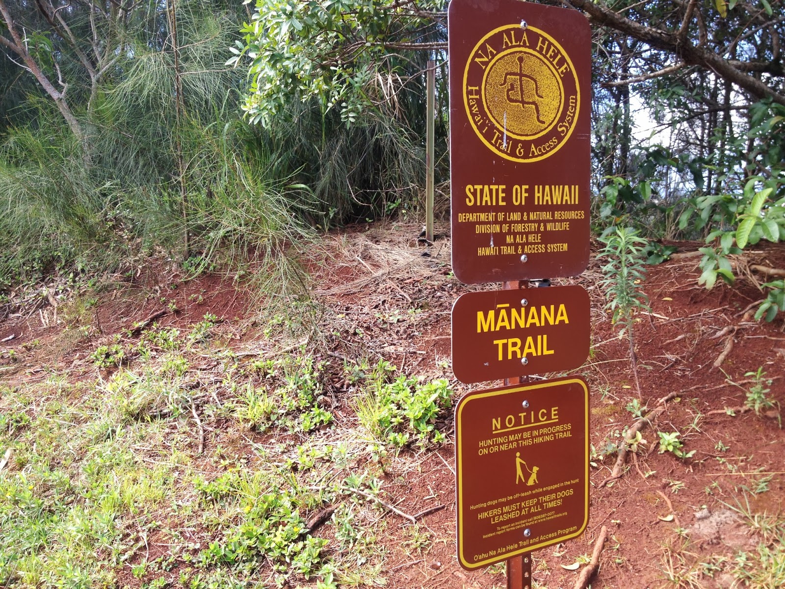
mānana trail

i tripped before we even got to the trail sign. how embarrassing.

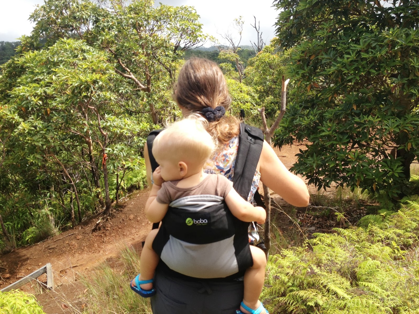
photo credit: nate gleisner (he took his one and about 2 others)

this trail also goes on forever, but we turned around at about three miles. 
we ate, hung out and nate put up his hammock at a lookout area. 


Wednesday, July 10, 2013

11 mile hike along a mountain ridge

 don't worry, it was safer than it looks.
 nate, a friend of ours & i hiked and hiked and hiked some more. 11 miles, to be exact. this trail was called the royal summit. i thought we would actually reach a summit, wouldn't you? nope. three miles in, i come to find out there is no summit. so why is it called the royal summit? well, it's  because the neighborhood/subdivision near the trailhead is called royal summit. way to falsely advertise, huh? ha. another thing we learned is that this trail doesn't end. it goes on forever and ever. we ended up hiking up/over/down 15 (i think that was the final count) mountain peaks(?). i don't really know what to call them. stephan had hiked a part of this trail before, but hadn't gone this far. at mile four, we stopped for lunch. and every couple of minutes after that, we debated about whether or not we should turn around. "still have enough water?" yup. "ok, let's keep going." "feet hurt yet?" nope. "ok, let's keep going." we really wanted to find an end to this thing. ultimately, the (pouring) rain made us make up our minds to turn around... very quickly. the dirt became mud, and it got slippery and dangerous. we didn't want local newspapers to write about three hikers gone missing in the mountains (no joke, this happens frequently). i didn't get any pictures of the rain and how drenched we were. i thought it was a little safer looking at where my feet were landing than what my phone was taking pictures of. but just imagine jumping into a pool with your clothes and shoes on, then coming out and going hiking.

we. were. soaked. 

and obviously, we made it home safely because here i am, talking about the experience three-and-a-half weeks later. :)


oh, and i will find the end of this trail someday